01
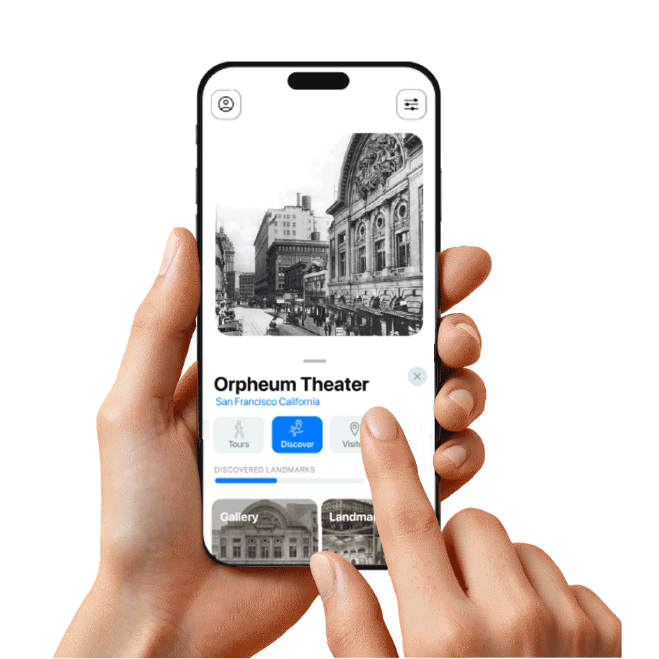
Historical images mapped to real locations
Geotagged archival photographs and video show you what your city once looked like, block by block. Every pin is a portal.
Archival sources
GPS pinned
Hi-res
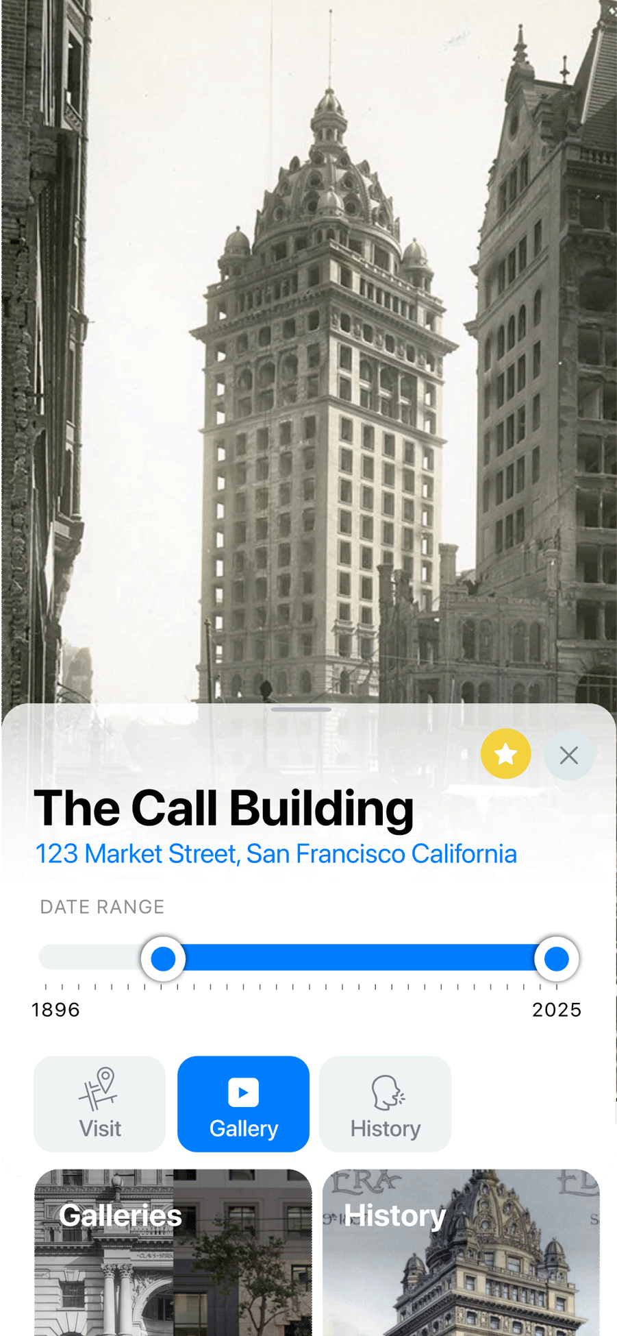
02
Juxtapose then and now
Swipe through time with interactive before-and-after sliders. Compare past and present in a single gesture, from 1896 to today.
Slider interface
Street-level
Date range
03
Lost landmarks & architecture
Every building has a story. Curated historical context, architectural tags, and narratives from the people who knew these places.
Verified sources
Arch. styles
Curated
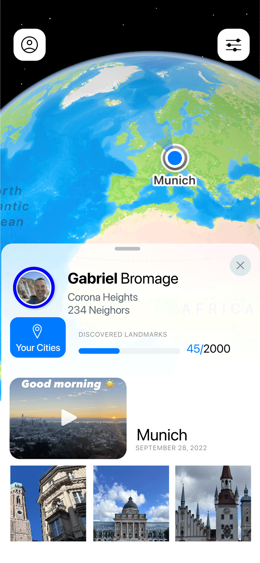
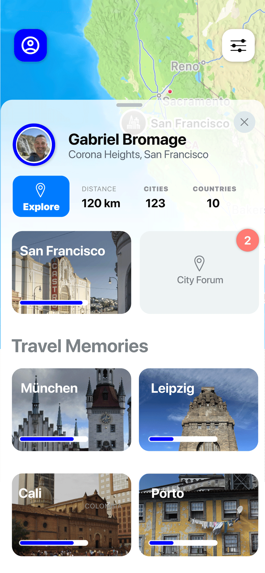
04
Travel mode & communal forum
Curate your own visual memories across every city you visit. Join the Communal Forum, where citizens preserve, debate, and imagine better cities together.
Memory vault
City forum
Walking tours